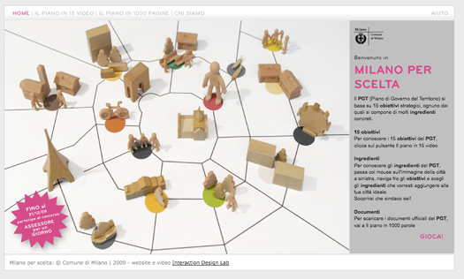
Milan has approved a new Territorial Government Plan (Piano di Governo del Territorio) in which public services, and the way they are planned, are at the centre of the whole project.
Since 2008, Id-lab has worked alongside the City Administration to change the way Milan thinks about urban development. Each of the city's 88 existing quarters, with its own characteristics and identity, is treated as a core element in the new approach. An ongoing conversation with citizens has elicited an understanding of which services are considered important for daily life — such as schools, kindergartens, libraries, health and social services.
From these 88 Environmental Atlase an understanding emerges of where service provision is failing. The new Plan does not fix which services will be activated in the future, nor where they will be placed. On the contrary, the idea is to enable a cyclical decision making process in which the identification of needs and action priorities is continuous. Unlike in traditional planning, the city never arrives at the moment in which its plan is finished. On the contrary: every six months a new process of reconnaissance, of “listening,” begins which updates the collective understanding of new needs and wants.
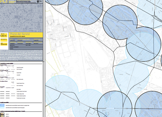
IdLab's vision is that these dynamic service ecology maps will act as a trigger that encourages entrepreneurs to develop new services when these emerging needs, at an ultra-local level, become evident. The map below, for example, identifies areas within each neighbourhood that lack close connection to a public transport route; one idea is that these gaps are spotted by minivan operators who move in to close the connection and remove the necessity for people to use private cars.
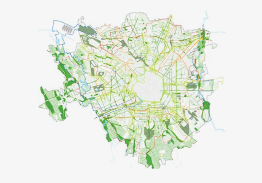
The same goes for maps which plot areas of the city where planting and food growing might be reintroduced. The role of the city here is not to grow food, but to highlight spatial opporunities and down the line, to remove planning and regulatory blockages.
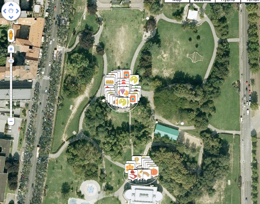
A related project, Nutrire Milano (Feeding Milan) is also exploring the relationships between food systems, service innovation, and sustainable urban development. A project of the Slow Food Movement with Milan Polytechnic, Nutrire Milano also uses maps to highlight where there are gaps or blockages in the ways food is produced and distributed.


Comments [2]
The website "milano per scelta" suggests that citizens can suggest and choose, while the city government has just discarded thousands of observations and proposals submitted by citizens — the opposite of the "ongoing conversation" with citizens described here.
By the way, the last project mentioned here (Nutrire Milano) has no connection with the new city plan.
01.30.11
03:38
02.08.11
01:43